
Citrus
-
General
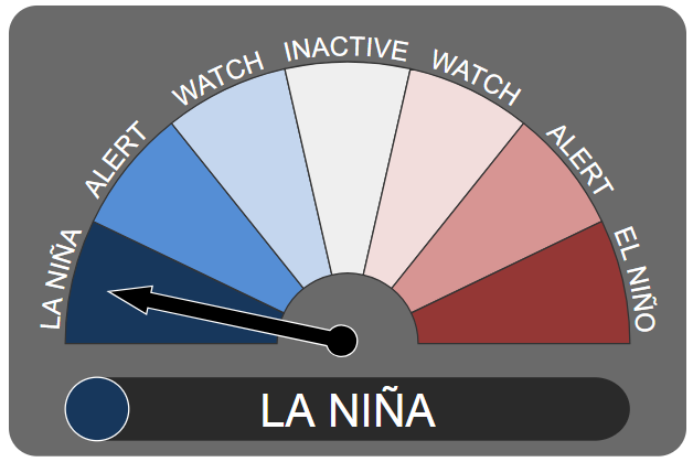
The Bureau of Meteorology has declared a La Niña is officially underway, signalling we could be in for a wet spring and summer.
During a La Niña phase, Australia's northern waters are warm with increased convection. This allows more moisture to be lifted into the air than normal, typically resulting in increased rain for eastern and northern Australia — but, historically, the south-east misses out.
That moisture can lead to cooler daytime temperatures according to Andrew Watkins, the BOM's head of climate operations.
"We tend to have more cloud and a bit more moisture around to evaporate to keep the air a bit cooler," he said.
"Conversely at night, when you've got the cloud acting like a lid trapping in that heat, it can be a bit warmer."
But every La Niña is different.
Will we get a repeat of 2011?
The last major La Niña events were in the summers of 2010-11 and 2011-12. They resulted in 2010 to 2012 being Australia's wettest two-year period on record. Flooding was widespread and devastating.
In early 2011, large parts of South-East Queensland were under water; the Lockyer Valley was hit by a cascade of water coming off the Toowoomba range and Brisbane saw its worst flooding since 1974.
But Dr Watkins said this year's event was looking weaker than 2010-11 based on the current forecast. "Also the fact that by this time in 2010, we were already well into a La Niña event and had been pretty much since mid July."
So 2010-11 was well ahead of where we are now. In fact, it was one of the four strongest La Niñas ever observed, according to Dr Watkins.
What does this mean for cyclone season?
The warm waters and increased convection also lead to La Niñas being associated with increased numbers of cyclones.
In a normal year we see roughly between nine and 11 tropical cyclones in Australian waters. But according to Dr Watkins, we could be in the upper end or even above that range this year.
"That also increases the risk of tropical cyclones crossing the coast, so lots of impacts of La Niña, particularly as we get into summer."
Will farmers be able to get crops off?
After the past few years of drought on the east coast, recent months of good rains for the south-east have been welcome.
The forecast of more rain will be welcome for those who have so far missed out in 2020. But during late spring and summer, farmers generally need dry conditions to get a crop out — too much rain in late spring and early summer can be a disaster.
Dr Watkins said the odds were easing back on a wet harvest, but it was still on the above-average-rainfall side of things.
"Hopefully nice finishing rains but that it won't be too wet for the actual harvest," he said.

